Hoa Bac chill ride - Rice Field Cafe and Glamping Point
- Keen Emmanuel Robante
- Jul 2, 2025
- 4 min read

This 32km custom route is a recommended itinerary if you want to see beautiful landscapes. To reach the start point you need to consider the distance going to the end of Nguyen That Than St. which is an 11.1km north bay road and the 'x' distance from your residence. Doing a Hoa Bac ride from My Khe beach area usually additional 42km so be prepared for a long ride if you are coming from the east My Khe beach tourist zone.
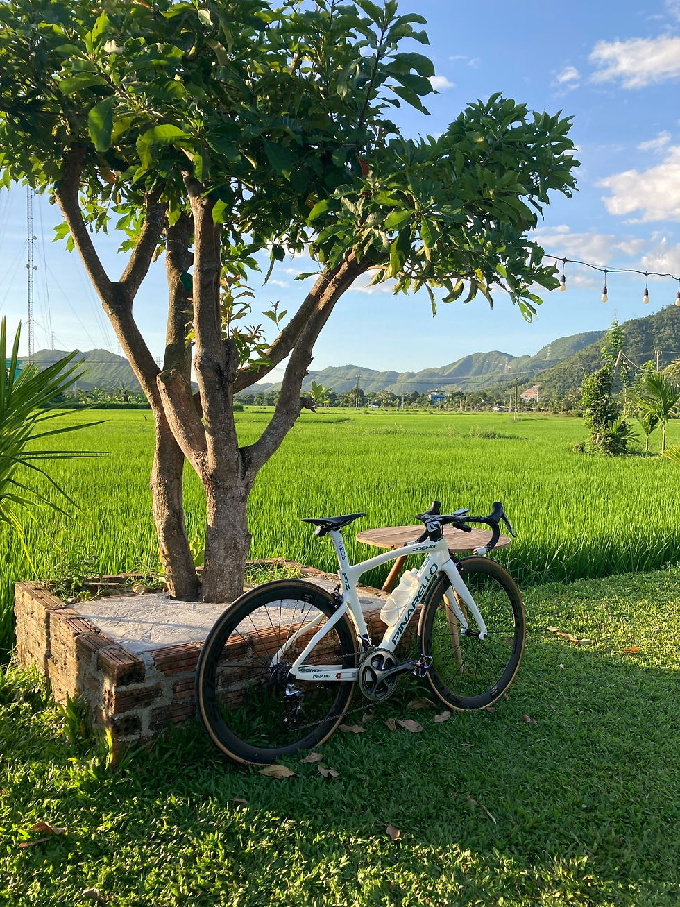
Hoa Bac is a popular destination for locals to experience the beauty of the country side mountain sceneries and rice fields. Residents usually come here for the cold weather, coffee with rice fields view, and glamping.
This route features multiple rice field cafes where you can rest and appreciate views with mountain and green landscapes as background. It will also take you to the end of a road on the riverside where a popular glamping site is located.

Hoa Bac chill ride - Rice Field Cafe and Glamping Point Breakdown
Distance: 32km
Strava Segment: https://www.strava.com/segments/39532075
Type: Flat with small hills
Average Gradient: 0%
Route Start/End: Nam O Heritage building (End of Nguyễn Tất Thành St.)
Landmarks: KM00.3 - NTT-Nguyen Luong Bang Traffic Light KM06.4 - Ho Chu Cemetery KM07.5 - Ramp to Off-road hills camping adventure
KM12.2 - Hai Dang Spring crossing
KM13.8 - Hoa Bac Catholic church
KM16.4 - Lua House Cafe, a rice fields cafe that offers one of the best views in the area. KM17.0 - "Tiem Nha Do", a popular coffee shop that is in the middle of the ricefields. KM19.3 - Hoa Bac "red" bridge. A bridge with red suspension that offers view of the river. A popular spot to stop and take photos. KM26.4 - Crossing back to NTT road KM31.6 - NTT-Nguyen Luong Bang Traffic Light
Best Time to ride:
05:00 - 08:00 AM Morning. Best time to go with less traffic. Cool air. Foggy during winter season.
Do not come at night unless you want to pass by numerous cemetery in the area.
Local Tip:
Enjoy and make sure you ride this with chill. The scenery is breathtaking. No need to hurry
There are many glamping sites and homestay in Hoa Bac esp near the Red bridge.
Competition in Area
None
30% of Danang Gran Fondo (September). KM78 Food Checkpoint of Fondo event near Red bridge.
Per 5 KM Notes KM00 KM00.0 - You start at Nam O building. They are currently working on an extended coast with residence and resort at the end of NTT. Start your journey west 300m and turn right on the NTT traffic light. KM02.0 - After Crossing a bridge parallel with a train bridge watch out for traffic and position yourself to turn Left at Ngo Xuan Thu St. Just continue the road up to Hoa Bac. KM05 KM06.4 - There are multiple cemetery you will pass by. The biggest is the Chu Cemetery. Continue straight your journey and enjoy the cold breeze from the mountains and view of nature.
KM07.5 - There is a development of the road Ramp to Off-road hills camping adventure to Hoa Van mountain. The view at the peak of this mountain is spectacular. You will need an MTB to get up due to bad rough road. Just pass by this and continue. The view from this point starts to get greener.

KM10 KM12.2 - You will pass a crossing of a natural spring where locals enjoy swimming - The Hai Dang Spring.
KM14.8 - On the right side of the road you will see the Hoa Bac Catholic church. KM14.9 - You will see Bau Bang Street Crossing with a concrete arc. This is the famous rice fields street. For this route we dont turn left yet since we have the intention of going to Lua house cafe a little further. Around 500m you will see a small corner turn Left and head straight to Lua cafe. KM15
KM16.4 - Arrive in Lua House Cafe, a rice fields cafe that offers one of the best views in the area. Get some coffee here and find a spot or continue to the coffee shop and glamping ride. Head your way back 500m reverse and turn right entering the Concrete Bau Bang Arc.

Around 600m or middle of the street with rice fields on both side you will see the "Tiem Nha Do" cafe on the left side.

KM17.0 - Arrive at "Tiem Nha Do", a popular coffee shop that is in the middle of the ricefields.


Continue to the end of the road and turn Right to reach multiple glamping site areas.

Go further the end of road until you see "Lang Me" Glamping site. This site is popular as the river view is very nice and many activities inside for kids.

KM18.6 - Go back passing through the crossing of "Tiem Nha Do" around 200m more and see another crossing to the right leading to a red bridge.
KM19.3 - Arrive at the Hoa Bac "red" bridge. A bridge with red suspension that offers view of the river. A popular spot to stop and take photos. Continue to the end of the road and turn Left. Continue 9.1km until your reach the NTT Intersection.

KM20 KM26.4 - Turn Left at the Crossing back to NTT road. Ride 4.8km more back to Nguyen That Than St. Stop the traffic light where you started.
KM25 KM31.6 - NTT-Nguyen Luong Bang Traffic Light. 300m more and you are back at your starting point.
KM30 KM31.9 - Congrats you have completed the course! Now do another 21km back to My Khe beach.


Comments